marystown to garnish to point rosie

Run, don’t walk Drive, don’t run, to Garnish as soon as you can to ride the 24 km (one way) trail to Point Rosie.  This gem of a trail should be ridden by every person with a mountain bike in this province and every person who comes to this province for a visit.

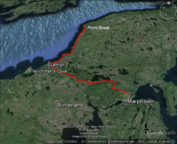
GoogleEarth_Image

Darren and I began our trip from Marystown, following a dirt road that begins behind the swimming pool.  This dirt road leads to Garnish Pond and from there the Garnish Pond Trail begins.
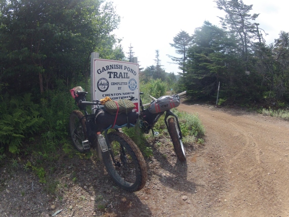
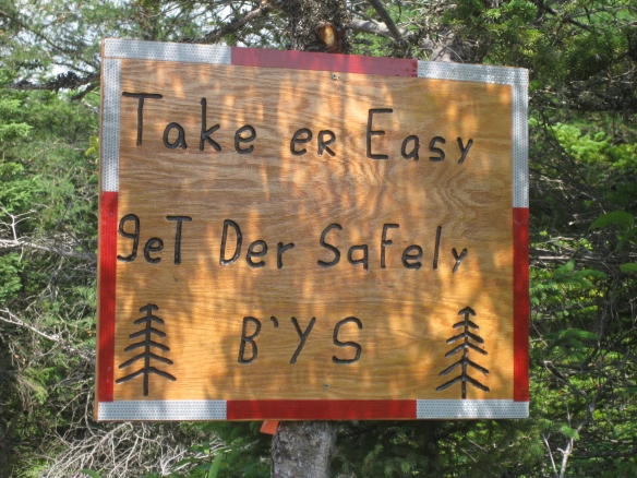
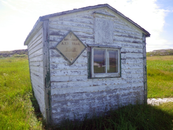
This is the ONLY piece of signage we found riding from Marystown to Garnish.  Using a GoogleEarth while we were on the trail was invaluable for finding our way.

This is the ONLY piece of signage we found riding from Marystown to Garnish. Using Google Earth while we were on the trail was invaluable for finding our way.
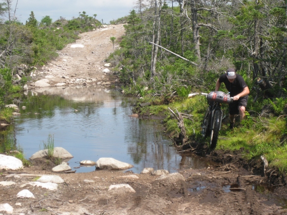
The first 12 km from Marystown was gravel road but once on the Garnish Pond Trail it became a true ATV trail, with sections of bog that required us to dismount.
The first 12 km from Marystown was gravel road but once on the Garnish Pond Trail it became a true ATV trail, with sections of bog that required us to dismount.

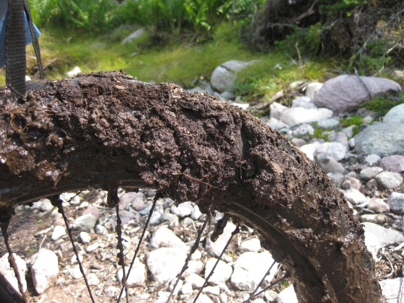
Underneath that mess is a well used Larry tire.

Underneath that mess is a well used Larry tire.

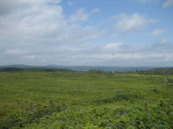
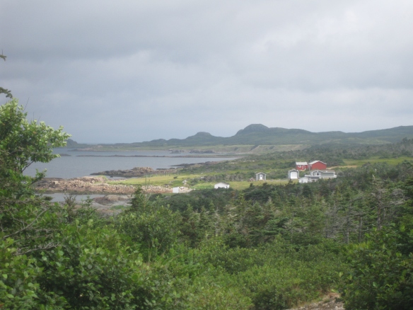
A typical view on the trail as you ride toward Garnish.

A typical view from the trail as you ride toward Garnish.

BonaBurin2014 130

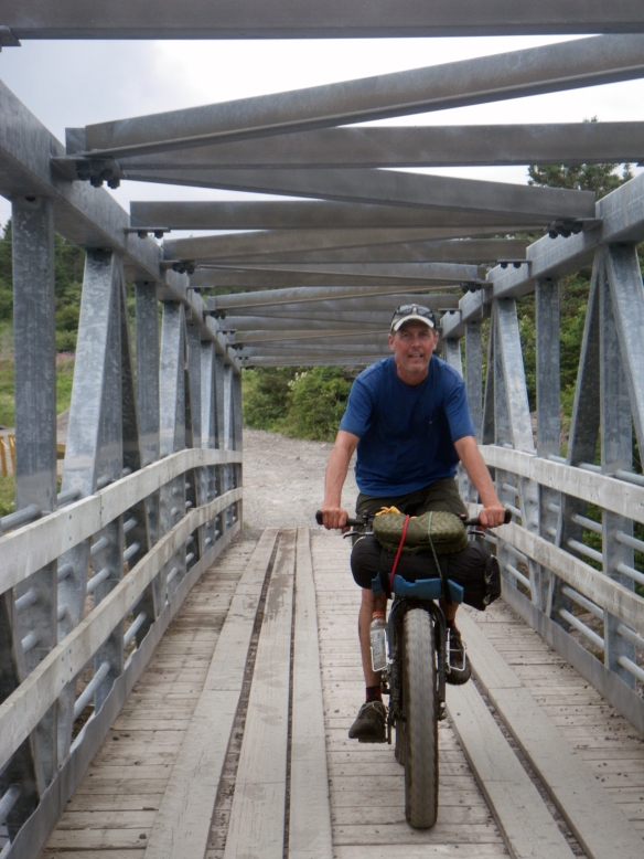
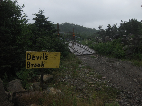
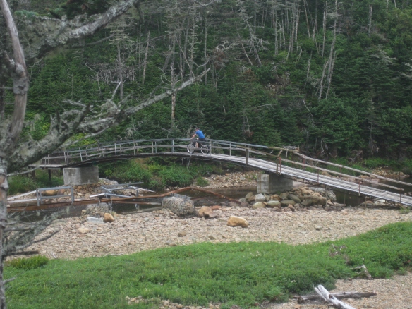
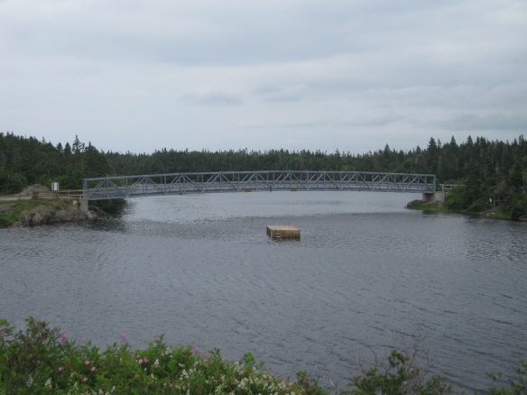
The trail from Garnish to Point Rosie starts at this bridge which is also a local swimming hole, complete with a change room and some benches.
The trail from Garnish to Point Rosie starts at this bridge which is also a local swimming hole, complete with a change room and some benches.

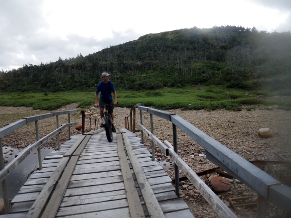
Crossing the Garnish River bridge. (Darren McD photo)

Crossing the Garnish River bridge. (Darren McD photo)

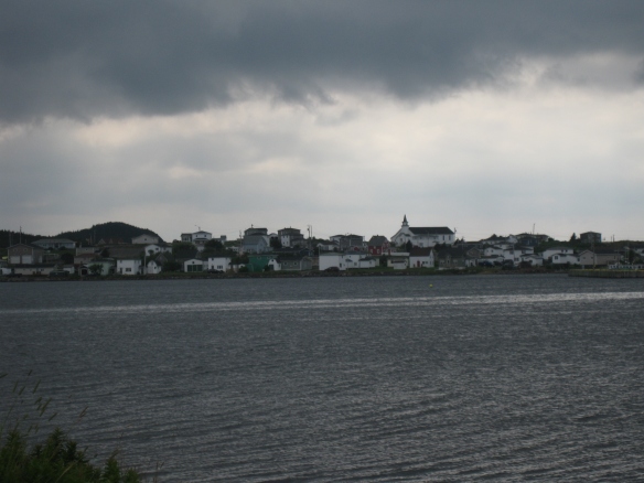
About 1 km into the trail, looking back at Garnish.

About 1 km into the trail, looking back at Garnish.

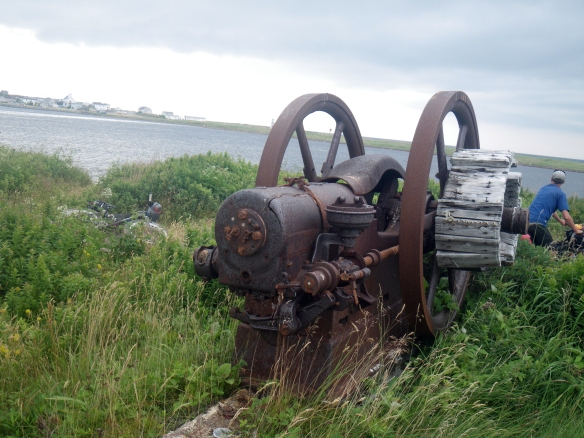
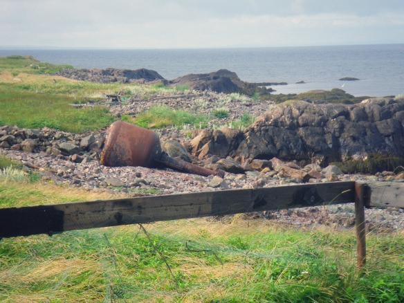
An old winch.  (Darren McD photo)

An old winch. (Darren McD photo)

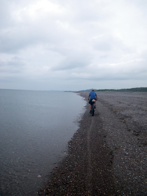
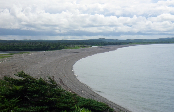
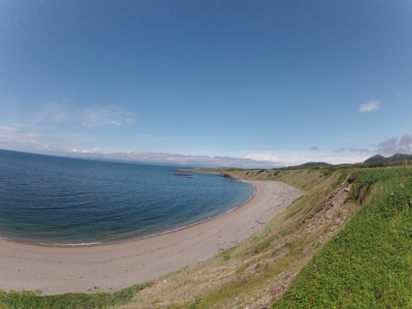
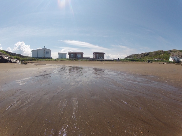
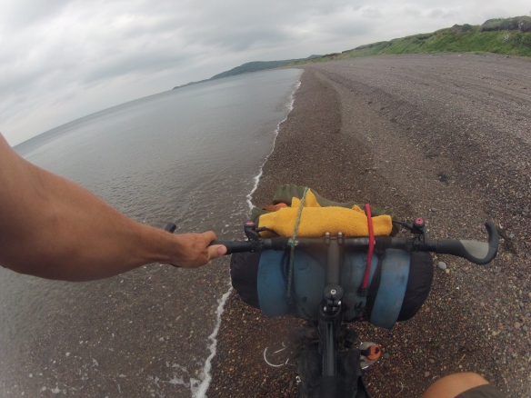
About 3 km past the bridge the trail crosses a 2 km long beach.  We were able to ride the beach with our fatbikes but I think regular mountain bikes might have to walk this section.
About 3 km past the bridge the trail crosses a 2 km long beach. We were able to ride the beach with our fatbikes but I think regular mountain bikes might have to walk this section.

(Darren McD photo)

(Darren McD photo)

Looking back on the same beach.

Looking back on the same beach.

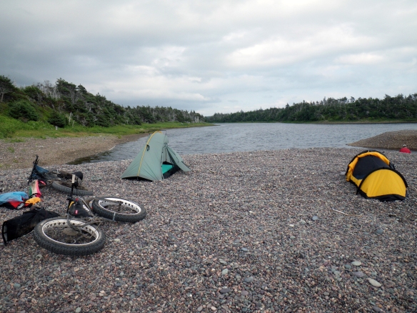
We made camp on a brackish pond behind the beach and thankfully were able to locate a spring for some fresh water.
We made camp on a brackish pond behind the beach and thankfully were able to locate a spring for some fresh water.

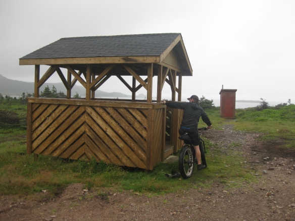
Had we known then what we know now, we would have ridden for a few more kms and made camp here...

Had we known then what we know now, we would have ridden for a few more kms and made camp here…

... as there was a lovely shelter and a pit toilet.  There we three of these rest stops along the trail.

… as there was a lovely shelter and a pit toilet. There were three of these rest stops along the trail.
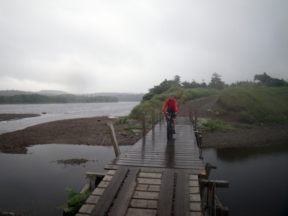
We awoke the next day to rain and drizzle but luck was on our side as that all burned off and the sun came out shortly after beginning to ride.

We awoke the next day to rain and drizzle but luck was on our side as that all burned off and the sun came out shortly after beginning to ride. (Darren McD photo)
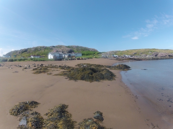
Sunshine = happy riders.

Sunshine = happy riders. (Darren McD photo)

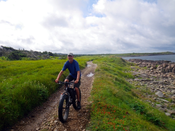
Lots to look at when you're following 24 km of coast.

Lots to look at when you’re following 24 km of coast. (Darren McD photo)

DCIM100GOPRO

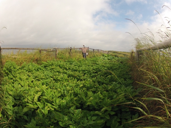
A garden belonging to a cabin owner.

DCIM100GOPRO

BonaBurin2014 184

IMGP0354

(Darren McD photo)

That's Point Rosie in the background.

That’s Point Rosie in the background.

On the beach in Point Rosie.  The community was resettled in the 1960's.

On the beach in Point Rosie. The community was resettled in the 1960’s.
DCIM100GOPRODCIM100GOPRO

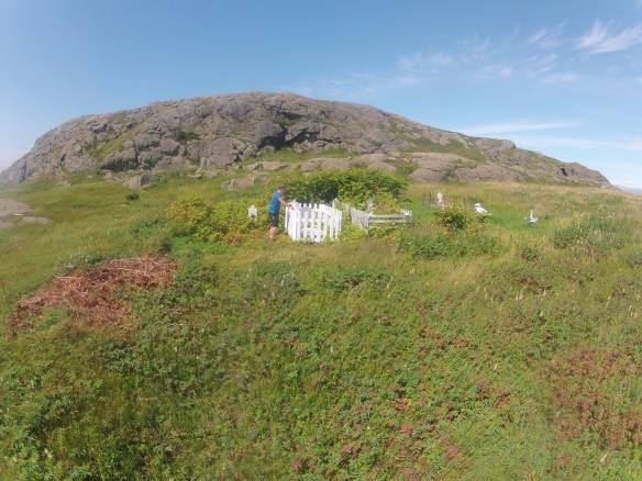
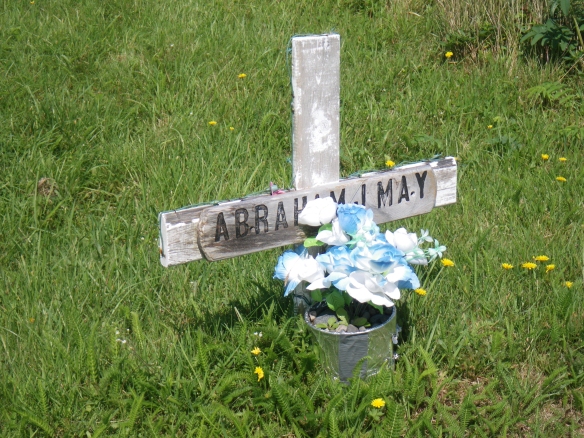
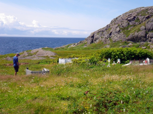
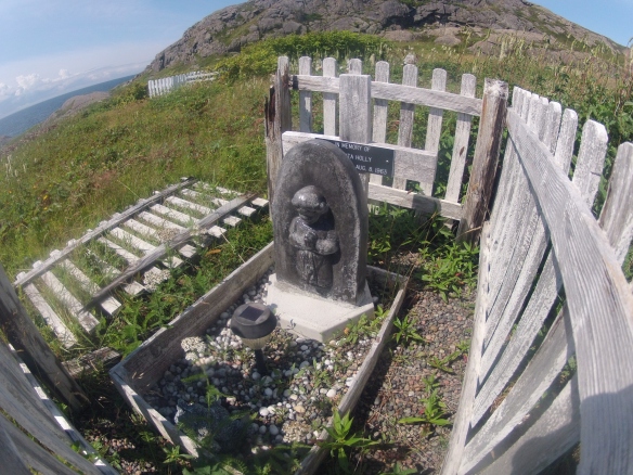
Examining the graveyard.

Examining the graveyard.

IMGP0376

(Darren McD photo)

IMGP0374

(Darren McD photo)

DCIM100GOPRO

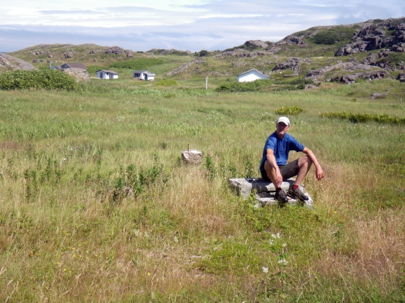
I'm sitting on what we believed to be were the steps to the chuch.  We later learned the church was floated to nearby Frenchman's Cove following the resettlement of Point Rosie.

I’m sitting on what we believed to be were the steps to the church. We later learned the church was floated to nearby Frenchman’s Cove following the resettlement of Point Rosie. (Darren McD photo)

IMGP0407

(Darren McD photo)

IMGP0373

(Darren McD photo)

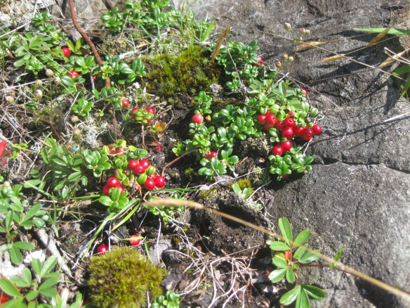
Partridgeberries.

Partridgeberries.

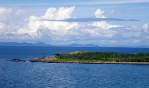
Across the water we could see the south coast and English Harbour West. (Darren McD photo)

Across the water we could see the south coast and English Harbour West. (Darren McD photo)

We picked up our tents and other gear and made camp a little closer to Garnish on our second night. (Darren McD photo)

We picked up our tents and other gear and made camp a little closer to Garnish on our second night. (Darren McD photo)

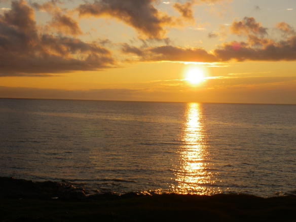
We enjoyed a great sunset that night.  (Darren McD photo)

We enjoyed a great sunset that night. (Darren McD photo)

When we got back to Marystown I was thrilled to find this note on the car:
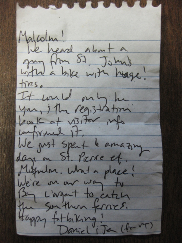
The note was from Daniel and Jen, cyclists from Vermont who I had been in email contact with.  They spent 2 months cycling around the province.

The note was from Daniel and Jen, cyclists from Vermont who I had been in email contact with. They spent 2 months cycling around the province.

Good things to know:

* Garnish to Point Rosie and back (50 km) took us 6 hours at an easy pace.

* Marystown to Garnish (appx 25 km) took about 3.5 hours.

* Our total trip was about 100 km and we did it over 48 hours (two nights camping out).

* I’m glad I rode from Marystown to Garnish but I wouldn’t seek it out again.  I strongly suggest starting at Garnish.

* There is lots of fresh water on the way to Point Rosie and, as mentioned above, 3 rest stops.

* I would also happily backpack this trail.

* I would LOVE to ride this trail in the winter.