Darren and I headed out to Gros Morne again this year, further building on what we did and learned last year and the year before.
Main River
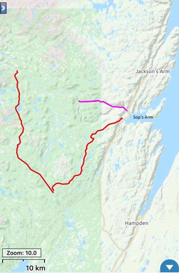
Our initial plan was to do a 3 day, 2 night loop (about 110 km) that incorporated riding up the Main River Road, then on to Eagle Mountain Road/Taylor’s Brook Road and back to the start in Sop’s Arm. But that area got socked by snow starting the night before we were to begin and it continued to snow for 48+ hours, with 50 cm falling altogether. In the image above you can see how far we got (in pink, 13 km one way) on unloaded bikes.
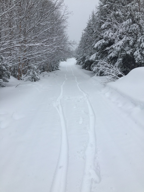
Lots of fresh snow on the Main River Road.
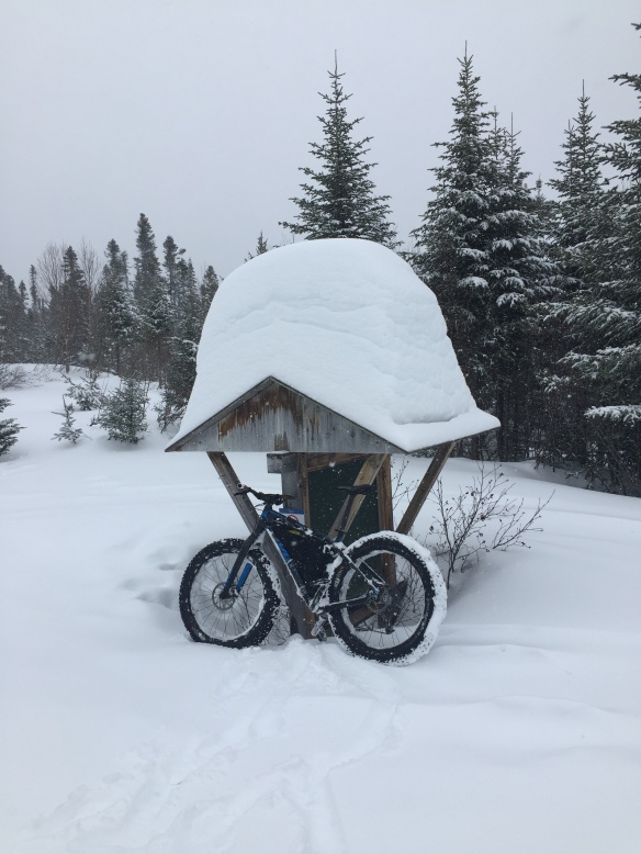
Here you can get a sense of just how much snow falls in this area.
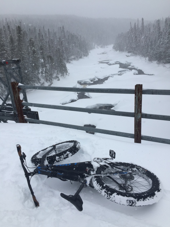
We made it as far as the bridge over the Main River, then turned around and wisely headed over to the Rocky Harbour area where a little less snow had been falling.
Glenburnie to Woody Point
The snow continued to fall on day two so we decided to check out the groomed snowmobile trail from Glenburnie to Woody Point and back and were we ever pleased that we did. An instant fatbike classic route was born! The route is 30 km return and it goes up, it goes down and it twists and it turns; and to top it all off, the scenery is fantastic.
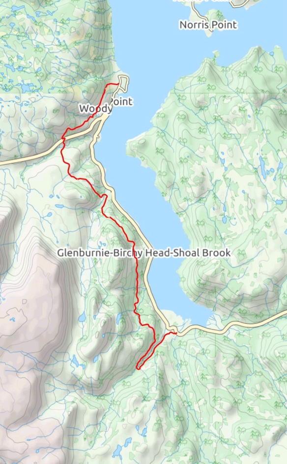
We started in Glenburnie and it took two hours to ride the 15 km to Woody Point, where we went into a shop and had a snack before the return ride.
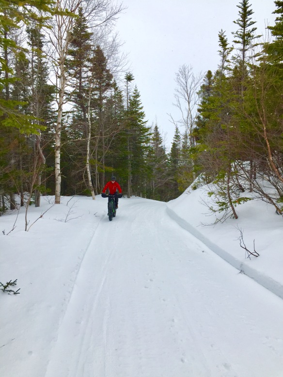
Riding groomed snow is such a treat.
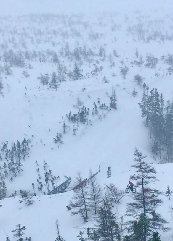
LOTS of elevation change on this route.
Sally’s Cove
On Day 3 the snow finally stopped falling and the sun eventually came out. We decided to try another new route near Sally’s Cove, which is on the coastal plains north of Rocky Harbour. This area typically gets less snowfall and we were hoping to find a new route into Baker’s Brook Pond and then on to Rocky Harbour, but once again the recent snowfall (and the lack of snowmobile traffic early in the day) had us turning around after just 4 km.
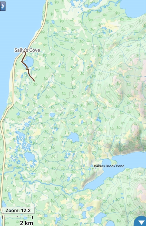
We had hoped to ride into Baker’s Brook Pond and on to Rocky Harbour, about 20 km one way.
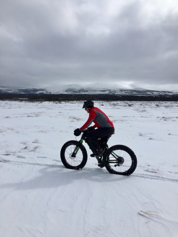
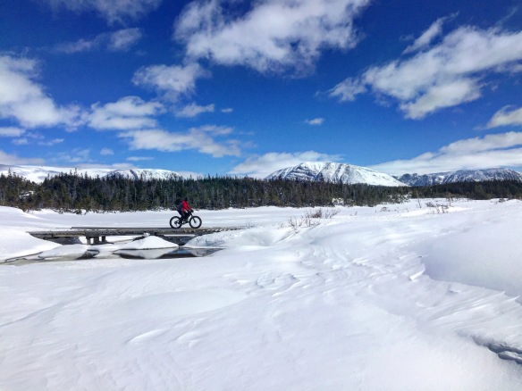
The area near Sally’s Cove is flat and windswept.
Rocky Harbour Loop
We left Sally’s Cove and headed back to Rocky Harbour, to ride a loop we did two years ago. This loop has a lot going for it: you can start right in Rocky Harbour, it gets a lot of snowmobile traffic so any fresh snow will be tracked, the scenery is out of this world, and you can use it to get into Ten Mile Pond and Baker’s Brook Pond.
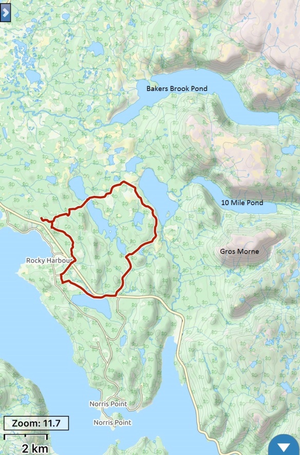
We started at the hockey arena; the loop as shown here is 20 km.
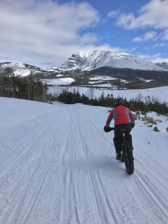
Near the start of this loop.
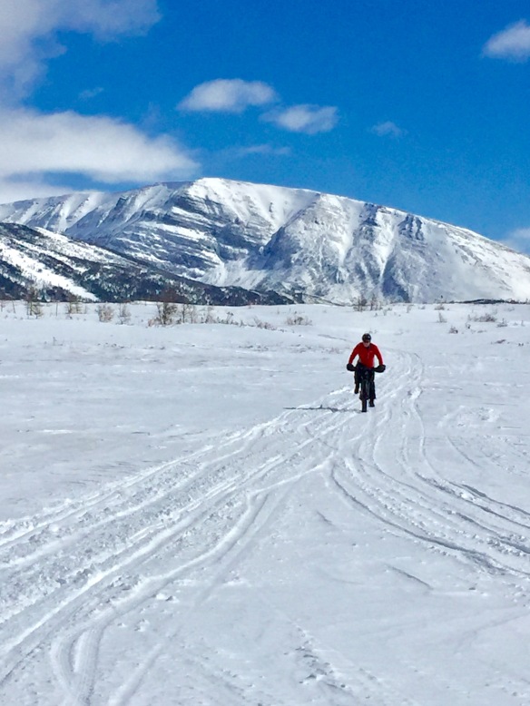
Gros Morne in the background.
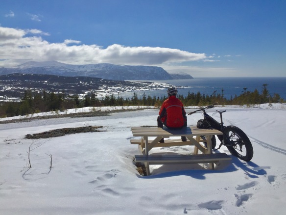
Looking down on Rocky Harbour.
The Tablelands
Both of us had been on top of The Tablelands before in winter, but on those occasions we were on snowshoes. This area is very windswept and what snow stays on top often turns into boilerplate and we thought it would make for good riding.
There are a couple of options for getting to the top and what we did on this attempt was to park at the trail head for the Green Gardens hike as this gained us lots of elevation by driving. As we discovered, there was still lots of elevation to climb to get to the top.
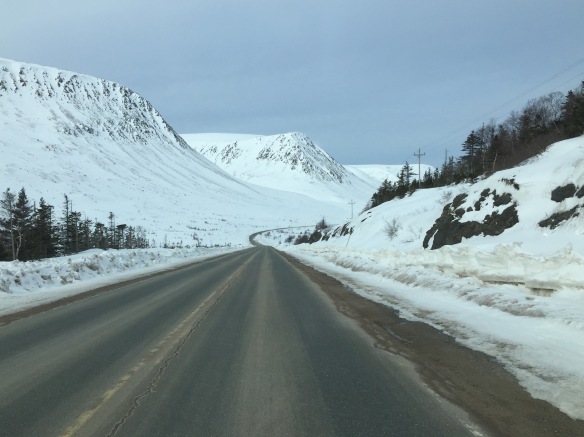
The view of The Tablelands from the road.
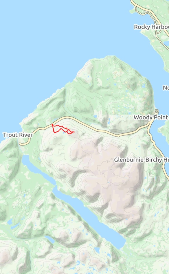
This shows you the route we took; the loop was 8 km.
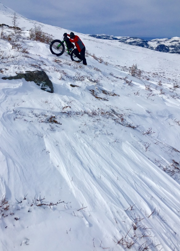
Fresh snow and steep inclines had us pushing most of the way up, but given the right snow conditions we believe a fair bit of it could be ridden.
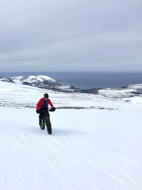
Up on top, with Trout River in the background. We were able to ride in some spots but we failed to find the boilerplate we were hoping for.
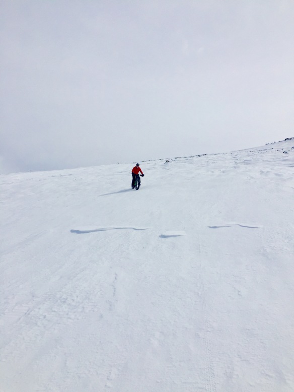
Coming back down was a scream and had me laughing hysterically!
Lovely pictures. Retirement can’t come soon enough.
Thanks Paula – 16 weeks left – and counting!
Awesome scenery!
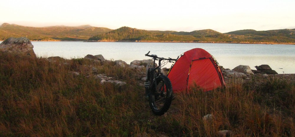
Did you guys camp?
Thanks Chris. We had planned a 3 day, 2 night trip at the start but all the new snow put an end to those plans. We stayed at a friend’s in Rocky Harbour.
Breathless Excellent and Proud of the Dr!
Eric Bolland Deputy Mayor Town of Kentville (C) 902-698-3918
Looks pretty sweet big guy.